
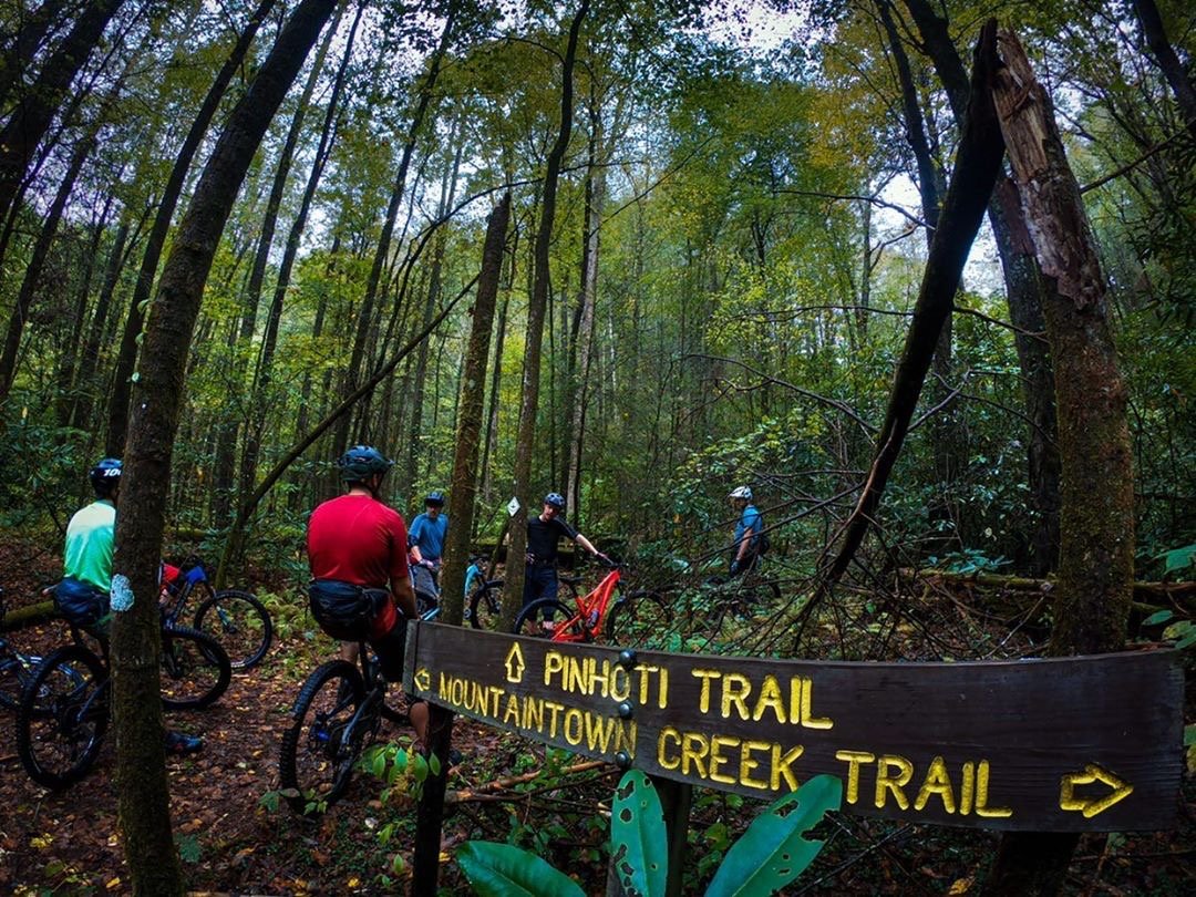
routes near Mulberry Gap


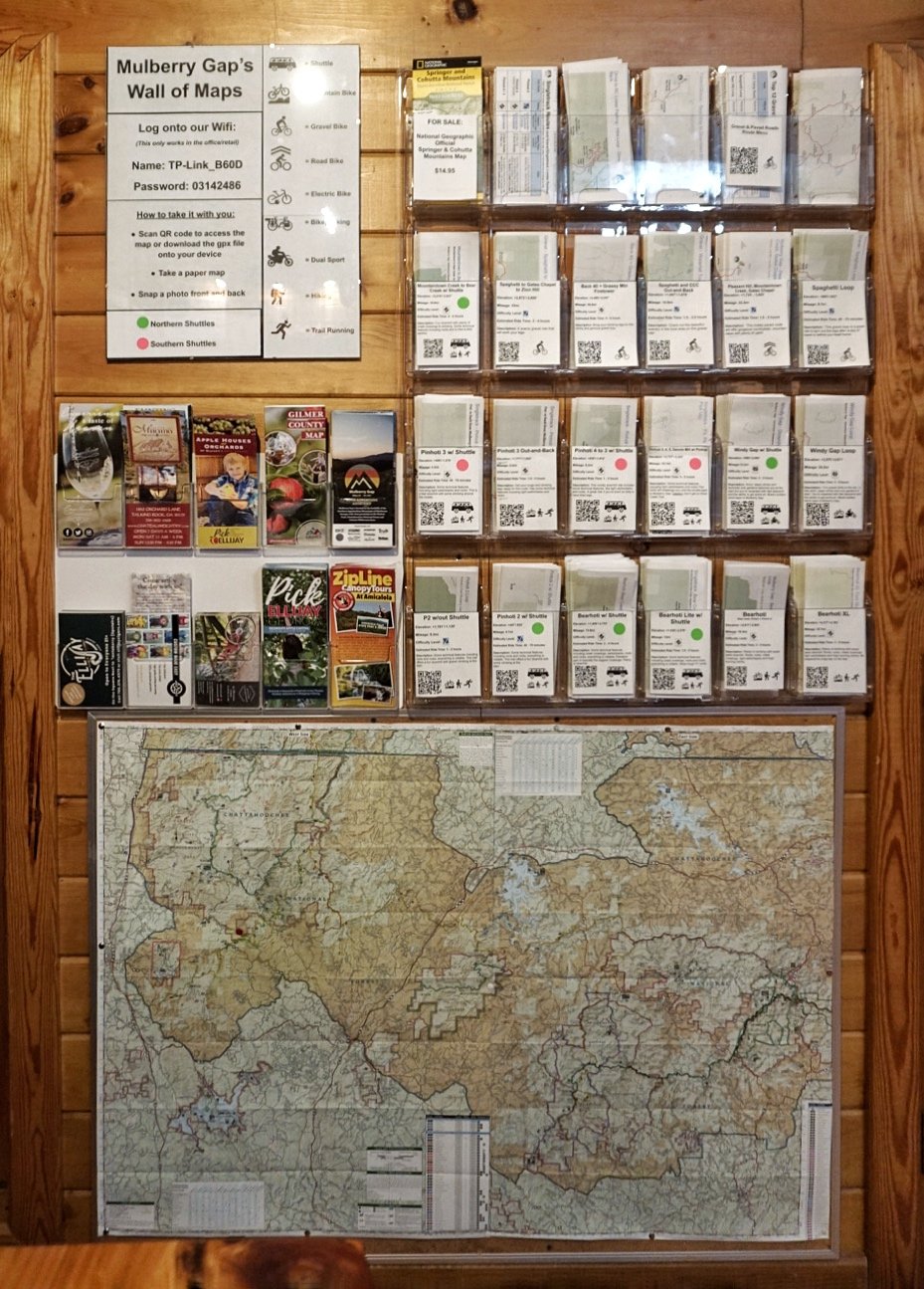

explore the routes
Sort by length, elevation, gravel, singletrack, road, bikepacking, or a mixture of all! We’ve put together some great routes for you to get the most of your visit. You can also export gpx files to your Garmin or Wahoo for turn by turn directions and cues.
Day Guests and Weekend Overnight Guests are welcome to come talk to our staff in the retail store for advice on routes and to pick up some helpful paper maps with cue sheets!
With lots of options to choose from, we’re certain you’ll leave mulberry gap tired but rejuvenated.
Here’s a list of the most popular routes closest to our property. We have plenty of other options and are always happy to assist in itinerary planning!
Top MTB Rides
Looped straight from the front door of Mulberry Gap, this 9.5-mile route is a nice mixture of gravel and single track with gradual climbs and descents.
Offering a mixture of gravel, single track, waterfalls, scenic creeks, and overlook views - this 18.5-mile route has it all!
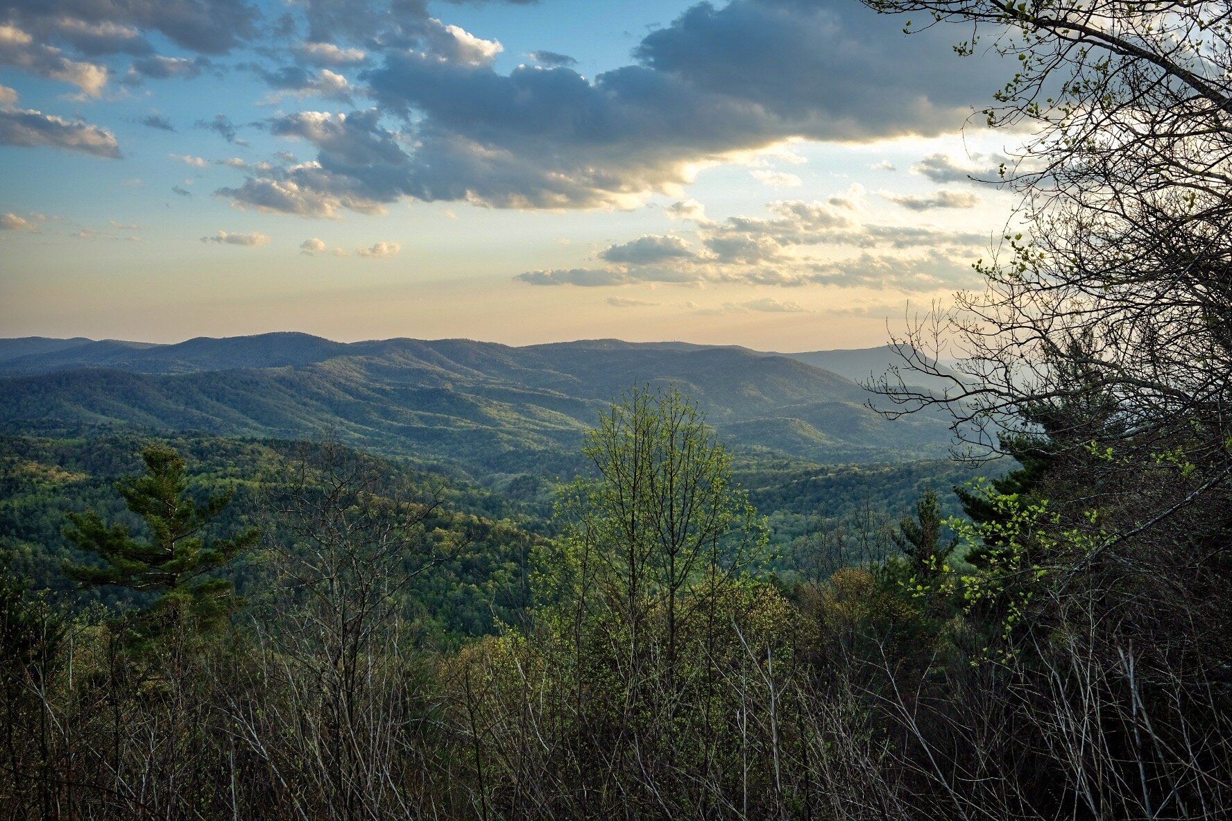
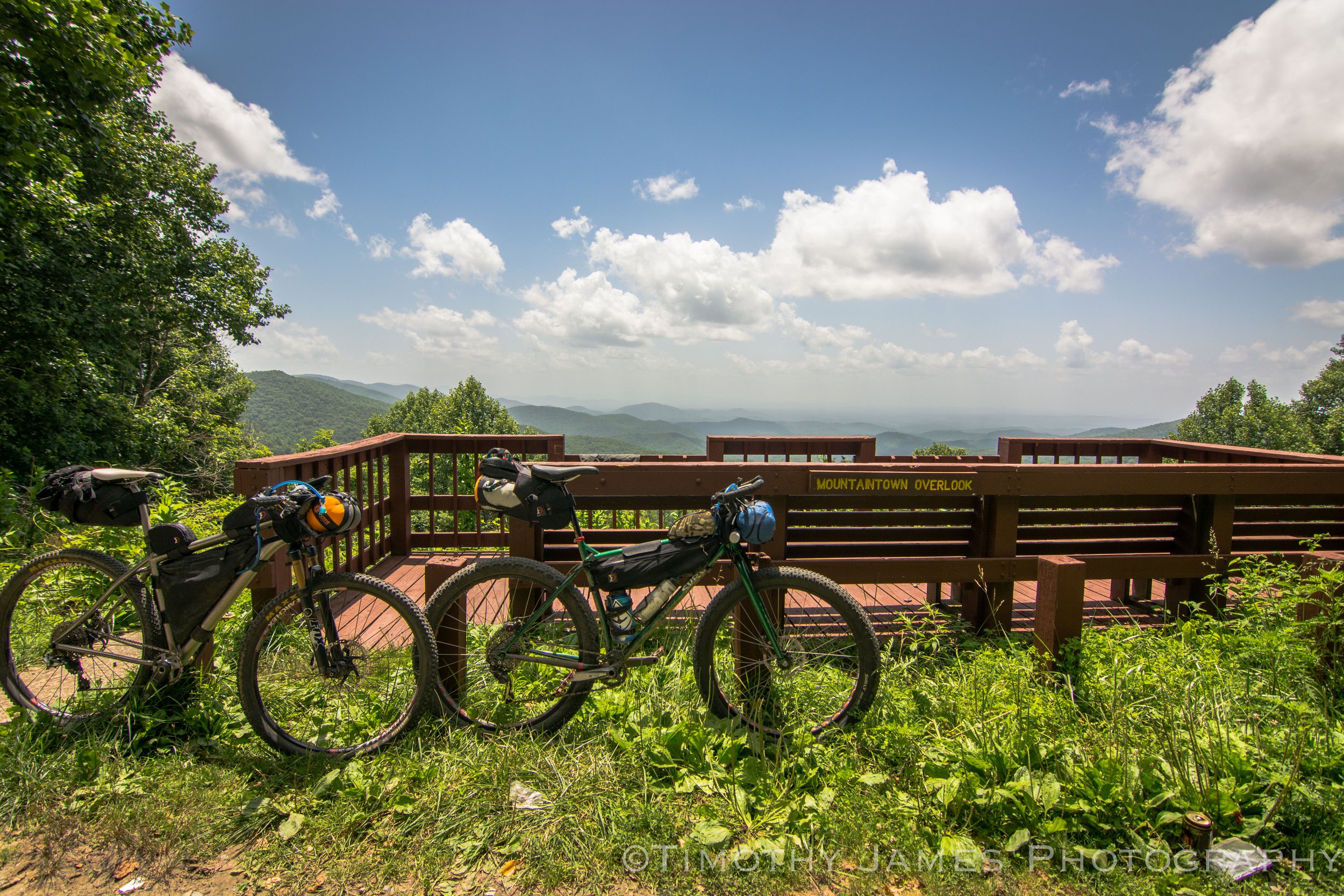
This 32-mile loop starts with a 13-mile gravel climb then winds its way down several mountain ridges along creeks, waterfalls and overlooks.
TOP GRAVEL RIDES
A 9.5-mile loop from Mulberry Gap along rushing creeks with equal parts climbing and descending.
A 13-mile fast paced mixed surface loop of gravel and pavement with country views and punchy climbs.
A challenging loop with thigh burning climbs and screaming descents. Pick between the 32 or 40-mile options and be prepared with plenty of snacks and water.
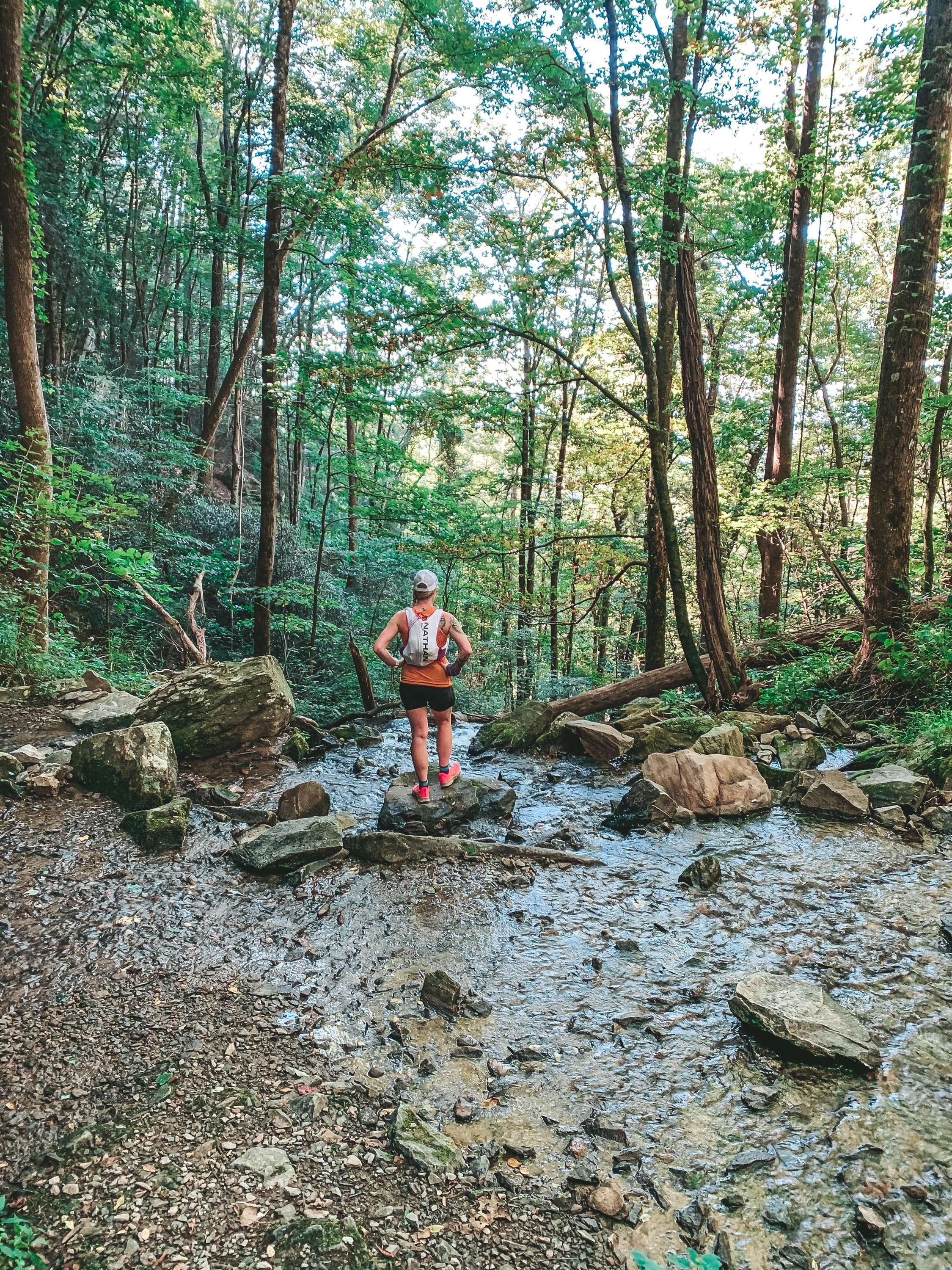
Top Trail Runs
Looped straight from the front door of Mulberry Gap, this 9.5-mile route is a nice mixture of gravel and single track with gradual climbs and descents.
This 9.5-mile route is an out & back that includes challenging climbs, sweet single track, endless switchbacks and a breathtaking overlook.
Offering a mixture of gravel, single track, waterfalls, scenic creeks, and overlook views - this 18.5-mile route has it all!
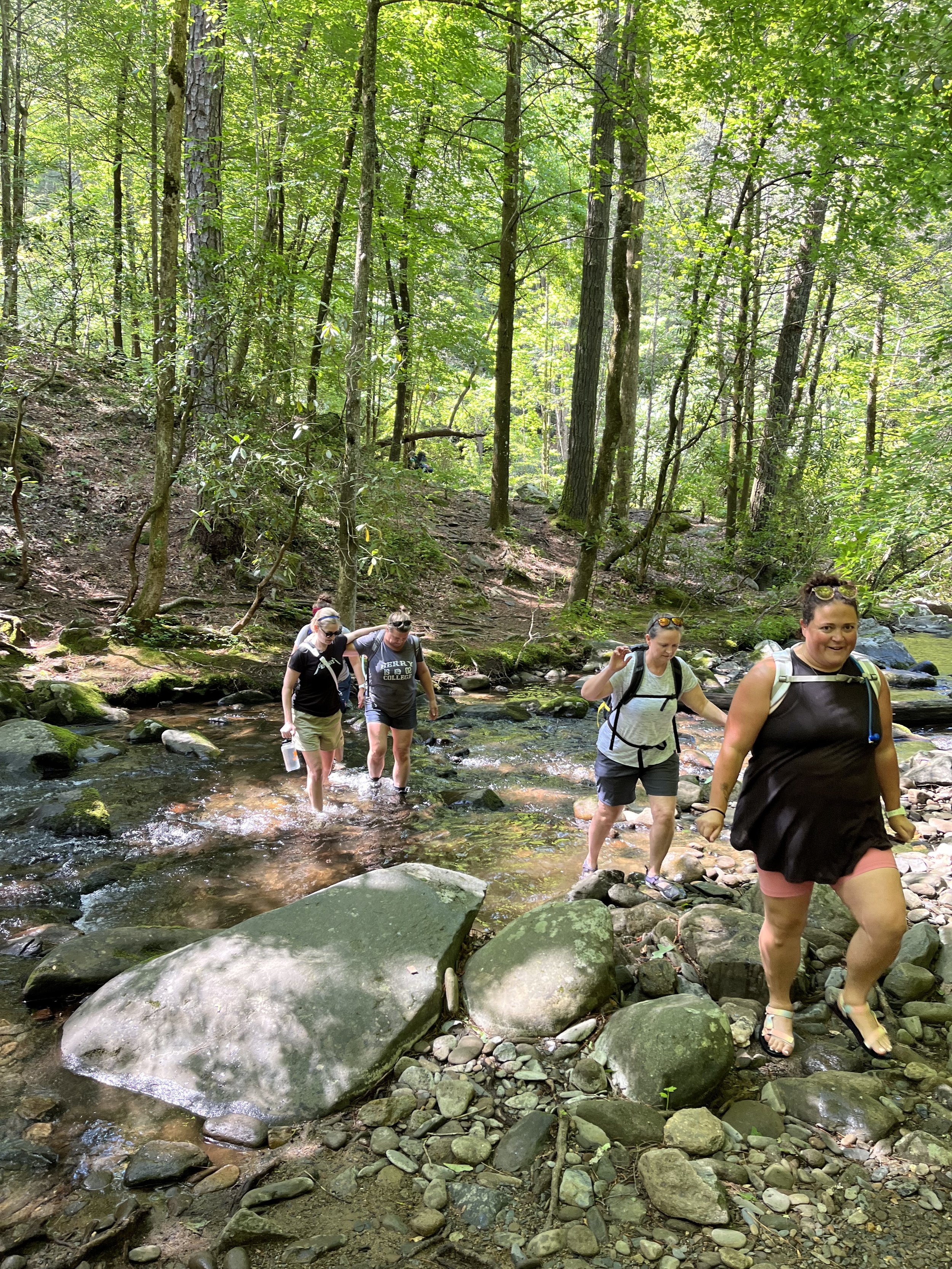
Top Hikes
This 2-mile entry level hike treks the classic Bear Creek trail and takes you to the Gennett Poplar tree; the second largest tree in Georgia!
This moderate 7-mile ribbon of single track with roots and rocks makes this hike a great out and back on the Pinhoti.
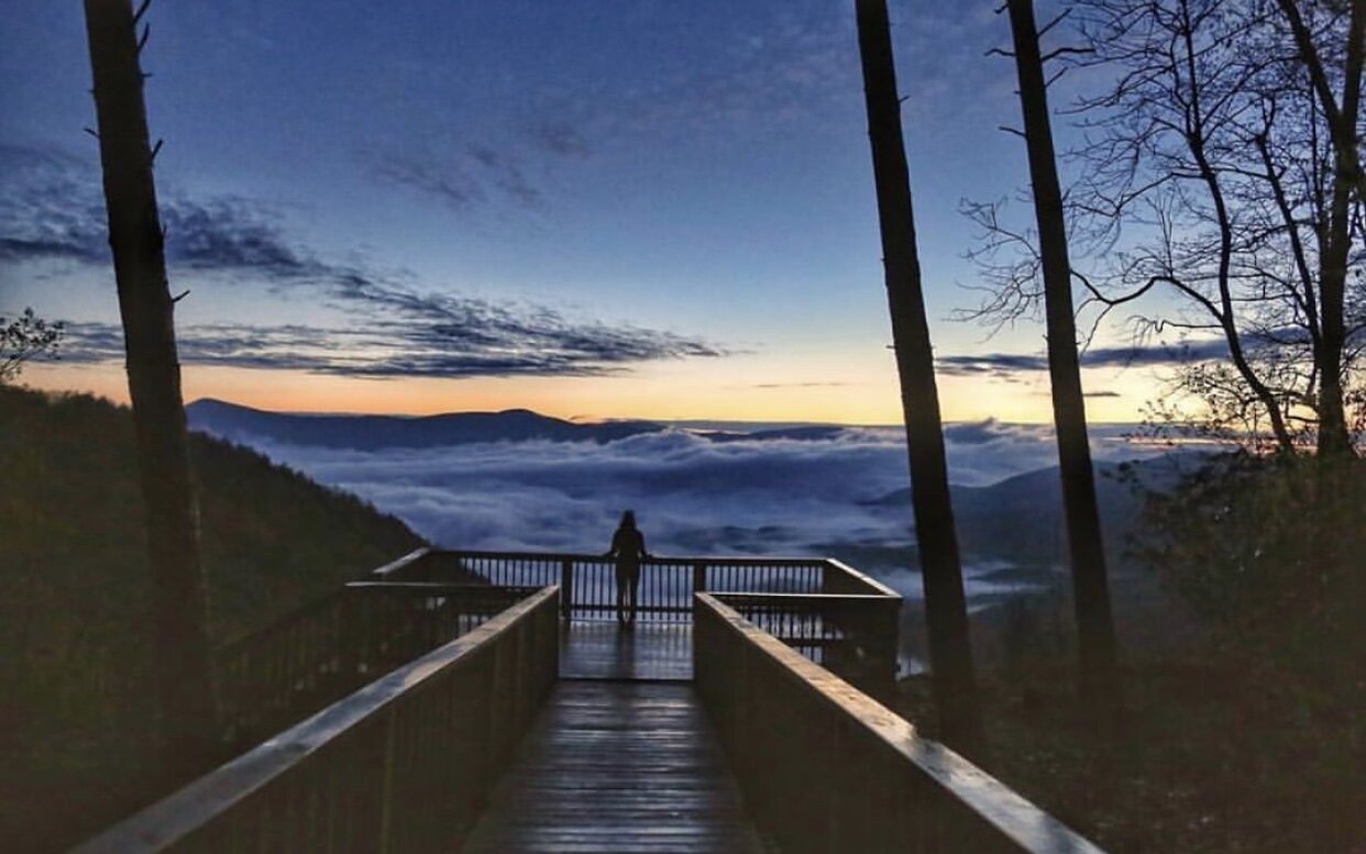
Rated hard for its challenging climbs and descents, P3 is a wonderful 7.5-mile hike that has Cohutta Overlook view right in the middle!